Missouri River Watershed
Stake Your Claim
Book an AdventureOur Territory
Lose yourself for days
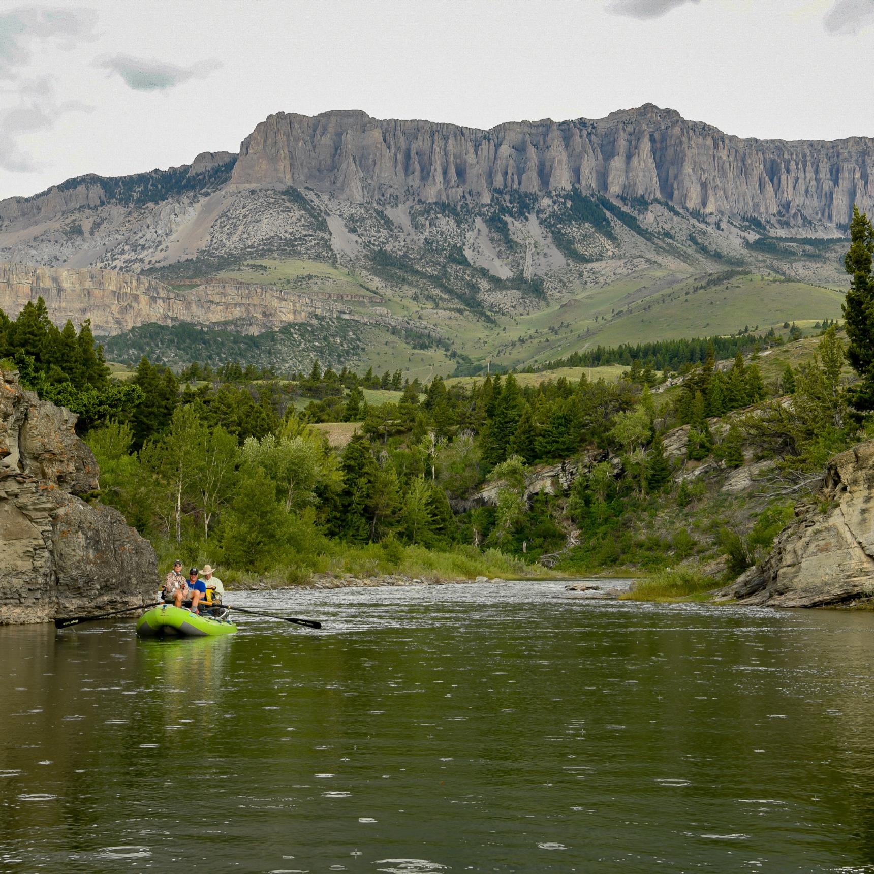
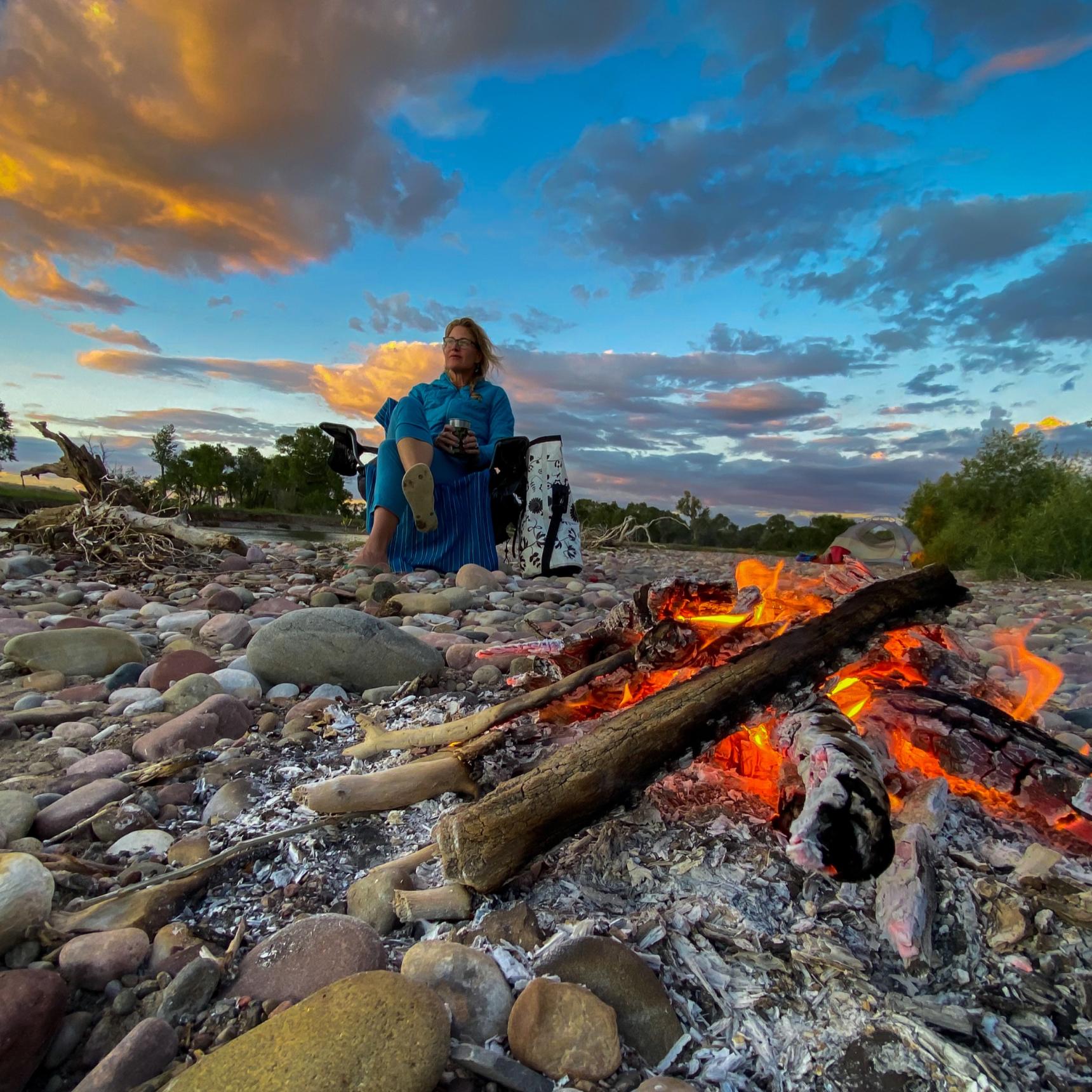
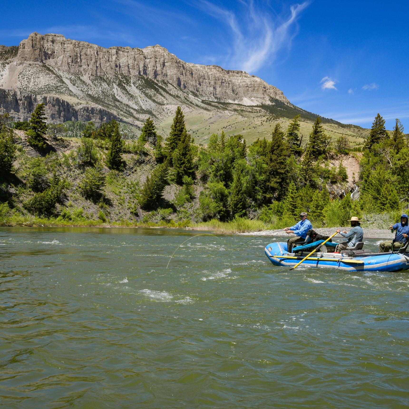
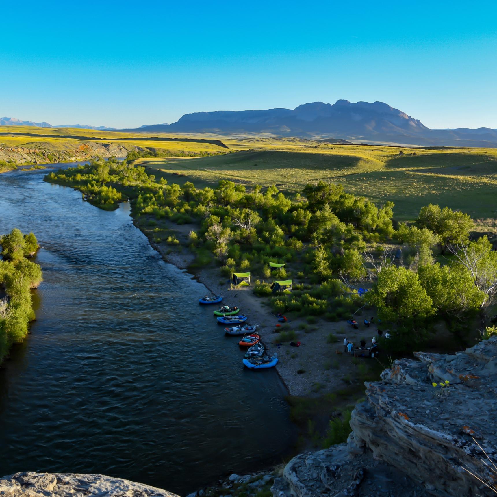
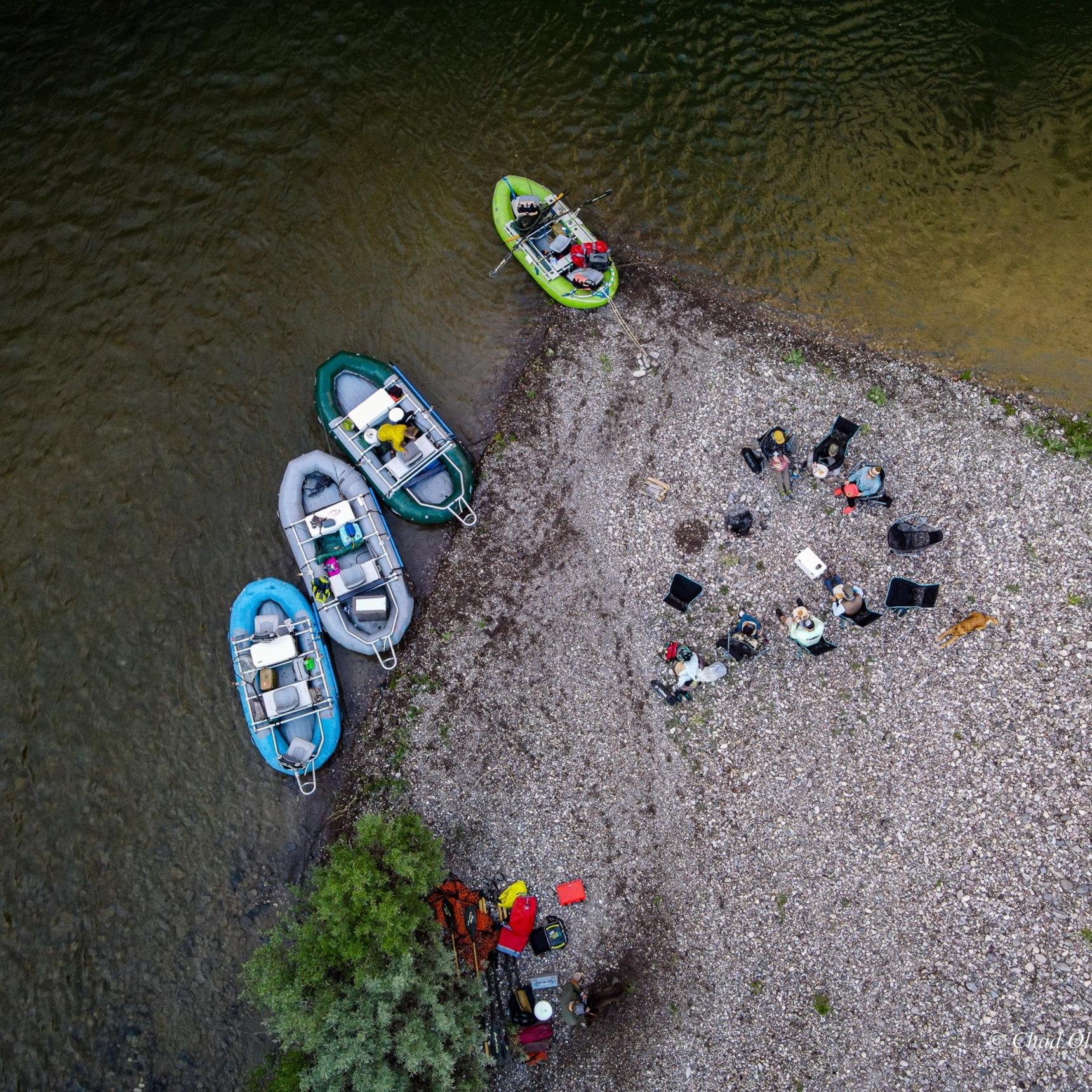
The Missouri River Watershed is our largest territory in Montana for fly fishing trips. The Missouri River watershed is the perfect location for any commitment level. That means you can go on a pack trip for a week or more, a multi-day fly fishing float trip, or even a day ride with our fly fishing guides without loosing out on the level of experience you receive.
Instead, you'll be booking week long trips just to stay in guided fly fishing paradise for longer.
GYFO is unbeatable when you want a true flyfishing experience on the river. We have done multiple trips, and Chad always gets us into a lot of fish and unbelievable scenery without the crowds of drift boats and rafts that clog the rivers nowadays. On our last two trips with GYFO, we never saw another fisherman, drift boat, or raft, which is unheard of nowadays; unless you're fishing with GYFO, Chad knows how to get you on public water without the crowds. You're a valued client with Chad, not just another number with dollars to spend.Shawn Olsen
Bozeman, MT
The Waters of the Missouri Watershed
Trips Available on Dearborn River
Dearborn River Overnight TripTake a fly fishing vacation to the Marias River and cast your line for for browns, rainbows, walleyes, bass, catfish and whitefish on a multi-day float trip or pack trip. Alternatively, you can pop down to the Tiber dam for a quick excursion onto the water during a day trip. These waters are slow moving a well stocked, so you'll have wonderful time catching any kind of fish you're looking for.
Missouri River Guided Fly Fishing Trips
Missouri Headwaters
The Gallatin, Jefferson, and Madison Rivers converge at Three Forks to create the Missouri River northwest of Bozeman, Montana. The headwaters of the Missouri to Toston Dam run through short limestone canyons and secluded valleys. The river is broad, slow, and interspersed with lengthy runs, braided channels, cliffed holes, and riprapped banks. The trout are few and far between, with a predominant population of brown trout and a smattering of rainbows. These hearty fish average 15” to 18”, but some monsters hide in these waters. Streamer fishing is best during spring and fall, as dry fly opportunities are limited and water temperatures are lethally warm during summer.
Toston to Canyon Ferry
Below Toston Dam, the Missouri River flows through an arid limestone canyon studded with junipers, yucca, and prickly pear cactus. Emerging from the canyon, it flows through a broad valley with irrigated hayfields lined with willows and cottonwood trees. Sweeping bends, side channels, and long, slow stretches are broken up by riffles, deep runs, outside gravel cutbanks, swirling back eddies, and riprapped railroad banks. Elk and moose graze along the riparian corridor and sip from the river’s currents, while bald eagles and ospreys hover overhead searching for treading trout.
Late summer and fall are the best times to fish this enigmatic section of the Mighty Mo. Hatches of tricos on calm September mornings and baetis on cloudy fall days tease trout to the surface, where they sip glassy flats and tailouts. There’s a sparse resident trout population, but many migrate upstream from Canyon Ferry Reservoir. Large trout slurp hoppers like mayfly spinners, surprising anglers with their size and power once hooked. Running dry/dropper combinations, twitching crawdads, or stripping streamers rewards patient anglers seeking a handful of big trout. Rainbows are the predominant species, with their silver flanks and broad tails propelling them on steelhead-like surging runs and cartwheeling jumps.
Fishing here is a high-risk, high-reward proposition, not a numbers game. You can land several good fish in a day or get your butt kicked. A good day may see a dozen fish landed between two anglers in the boat, averaging 17” to 20”. Some massive browns swim these waters alongside redfish-sized carp, which anglers can sight-fish. While stripping leeches and streamers, anglers are occasionally surprised by walleye; throw them in the cooler to fry up later. Regardless of fishing, there is something to be said about the peaceful solitude, and mountainous views in all directions - Big Belts, Bridgers, Madison Range, Tobacco Roots, and the Elkhorn Mountains can all be seen at various points.
Land of the Giants
The river then flows into Canyon Ferry Reservoir through a series of dams near Helena Valley, dividing the Big Belt and Nevada Mountains. First, Canyon Ferry, then Hauser Dam, and finally, Holter Dam. Between Hauser Dam and Upper Holter Lake’s Gates of the Mountains flows a short section of the river commonly referred to as the “Land of the Giants,” or L.O.G. While there are some “giant” rainbows and browns here, which run between these lakes, this is not our favorite style of fishing. If you like catching plenty of stocked, lake-run fish while combat fishing with jet boats racing by and guides yelling at each other, knock yourself out. We’re happy to refer you to one of these guides.
Holter Dam to Cascade
The world-famous section of the Missouri River that anglers are most familiar with bubbles up from the turbines of Holter Dam, built between 1908 and 1918. Holter, and the dams above, hold back spring runoff and filter out turbid waters, creating clear, cool, nutrient-rich waters which support the river’s thriving trout population.
From the dam downstream, past Craig to the Dearborn River, the Missouri River flows through pleasantly undeveloped country comprised of undulating grassy glades mixed with Ponderosa Pines and scrubby brush. During May and June, brilliant shades of spring-green envelope these hillsides sprinkled with vividly glowing arrowleaf balsamroot. The river gently drifts through picturesque country accented with rocky outcrops such as Coburn Mountain. Shallow riffles lead into slow, deep runs where anglers fish “inside-out,” casting flies from drift boats into the river’s seams. Crustaceans such as sowbugs and scuds are staples on the upper river along with midges, PMD and baetis nymphs, and, ahem, worm patterns. Streamers like smaller leech and bugger style patterns stripped slowly or swung through tailouts work well at times. Spey casters frequent the waters of the Missouri and its copious breadth of water, swinging soft hackles and Thin Mints in runs and tailouts.
The river draws dry fly only or “DFO” anglers from abroad. On slick micro-currents, challenging dry fly fishing conditions require downstream drag-free drifts with long, fine leaders. Prolific hatches of baetis occur in the spring and fall; PMDs, yellow sallies, and caddis in June and July, and tricos in July and August. These blanket hatches trigger wise, discriminating trout to feed upon these tricky currents, frustrating the best of dry fly anglers yet rewarding them in moments of glory.
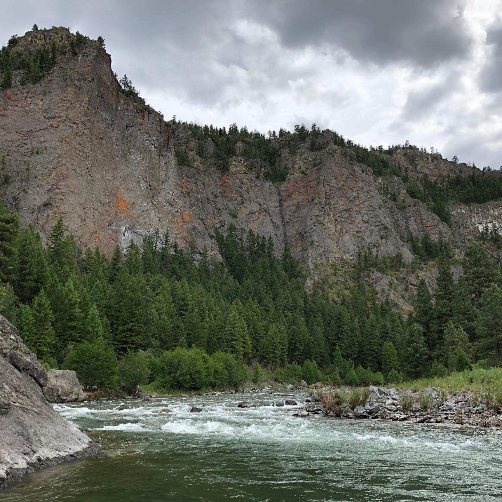
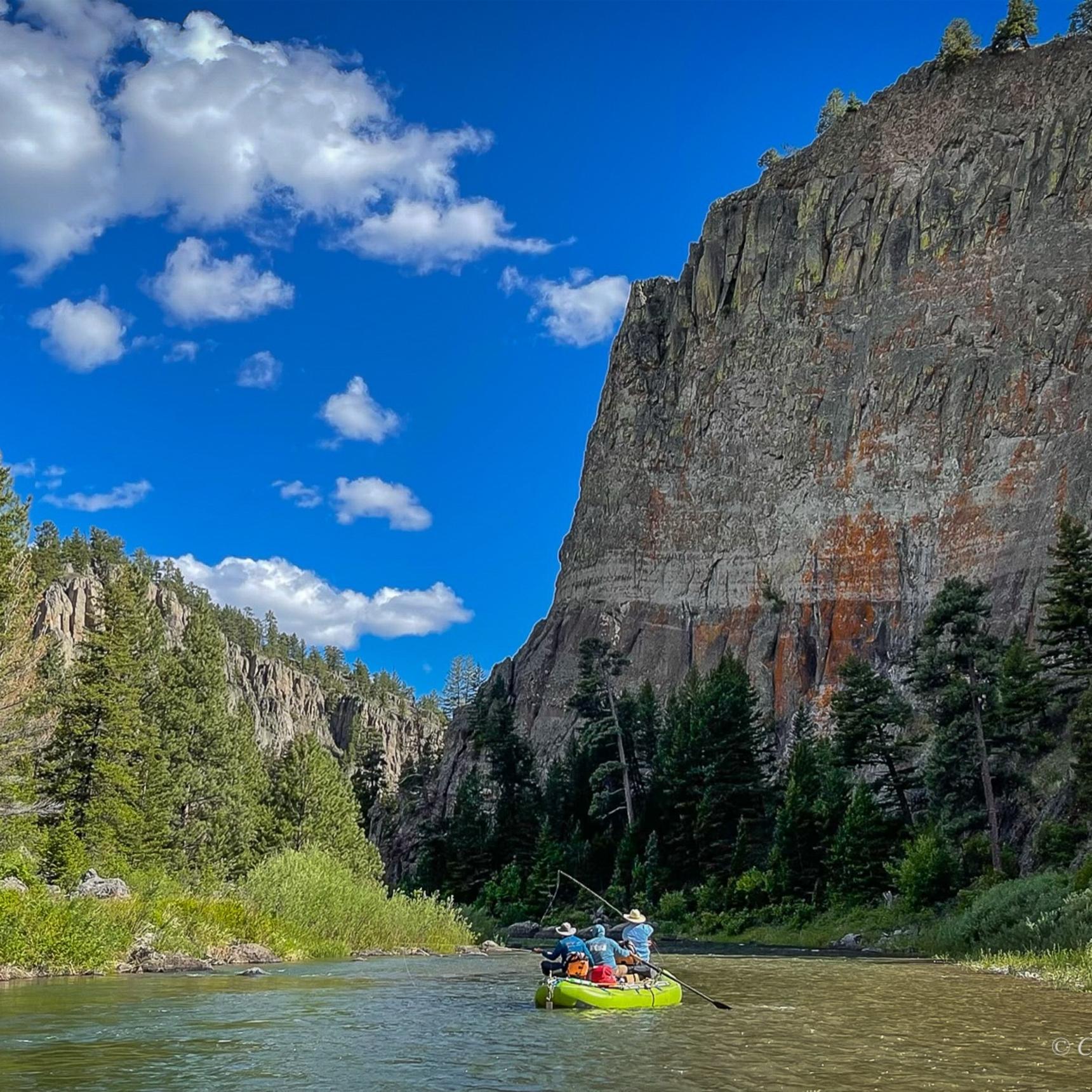
As the river approaches the Dearborn confluence, it transitions into a canyon stretch for about 10 miles. Canyon walls begin to approach, and Interstate 90 traces the river for stretches, with cottages and vacation homes lining the river in places. The river makes swooping bends to and fro the interstate, offering respite from the whirring traffic. Sugarloaf Mountain, Eagle Rock, and Mountain Palace stand like sentinels above the river. Rocky Mountain bighorn sheep staddle precariously on overhanging precipices, bald and golden eagles soar thermals, and muskrats paddle shorelines with willow branches in their bucked teeth. Purplish-gray shonkinite cliffs and dikes, brushed with orange lichens, protrude through Ponderosa hillsides overhead. Anglers fish inside runs and riffles, periodic channels, and outside riprapped banks adorn with overhanging willows where hook-jawed browns charge streamers. Recirculating back eddies are stacked with trout sipping crippled mayflies and spent caddis stuck in the foamy meniscus or slurping emergers beneath the surface. Short-leash nymphing is often deadly in these eddies.
The river curves around DeLacy Point, under the Hardy Bridge, the scene of “The Untouchables” movie finale. Flowing past Tower Rock, the river exits the canyon dropping over Half Breed, or, more politically correct, Pine Island Rapids. This swift section more closely resembles a freestone river where caddis patterns and Pat’s Rubberlegs or “Turds with Tails” are productive. Between these “rapids” and Pelican Point, the river surges past the Adel Mountains and rising rimrocked buttes through medium-deep runs with weedy, graveled shelves and pockets. Large browns and rainbows pick off caddis nymphs, PMDs, worms, sowbugs, and crayfish.
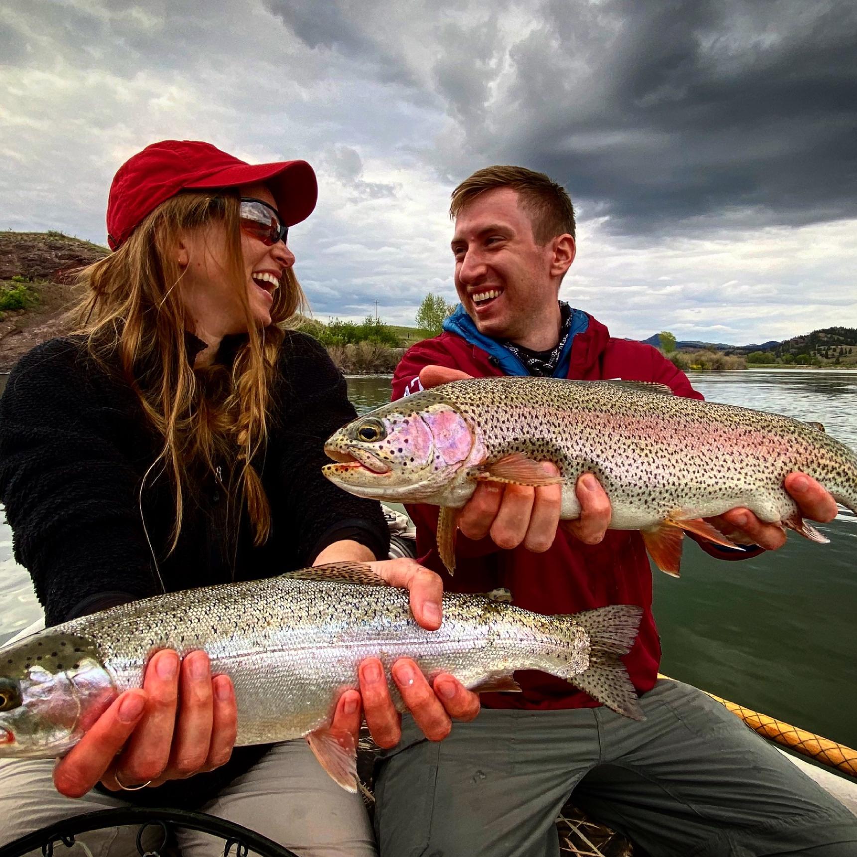
From Pelican Point to Cascade, the Missouri twists its way around oxbow bends through prairie grasses, cottonwood groves, and pastoral land. Grassy runs, gravel buckets, and long, calm stretches define this reach. Targeting rising bank feeders with caddis and PMDs is exhilarating. Pods of fish sip tricos on summer mornings or baetis on overcast spring and fall days. Brown drakes emerge on hot, late June evenings, trout slurping these giant mayflies well into the dark. Attractors and hoppers with droppers and terrestrials are productive during the summer months. Streamers provoke hulking browns and rainbows on cloudy days or dimmed morning and fading evening light.
The Mighty Mo is a vastly diverse fishery with offerings for anglers of all preferences. Contact us to schedule a guided Montana fly fishing trip on the Missouri River.
Trips Available on Missouri River
Bozeman, Montana Fly Fishing VacationsFloat Fishing TripsMissouri River Fly Fishing VacationsTalk about a local secret. While fishing the Musselshell river doesn't draw in many tourists, the Musselshell has locals falling in love with fly fishing it left and right. If you're looking to discover a new favorite fishing hole, the Musselshell may be for you. Book a fly fishing vacation on the Musselshell to catch tricky browns.
Sets off from the outskirts of Great Falls, MT for The Sun river's Montana fishing access. This river flows through high mountain prairies and rocky foothills—eventually ending in the Missouri. Go fly fishing in this river for rainbows, cutthroats, and brook trout during a multi-day, guided fishing pack trip.

