North Platte Watershed
Fish Wyoming's Legendary North Platte
Book an AdventureOur Territory
Explore The North Platte From Casper to Saratoga
Wyoming’s North Platte River spans from its freestone reaches near Saratoga to a series of tailwater dams southwest of Casper. Before wandering through fertile Saratoga Valley ranch lands, the river carves through North Gate Canyon near the Colorado border. Downstream of Saratoga, Wyoming, the river flows north along sandstone bluffs and meanders through high desert plains and sagebrush shrublands before emptying into Seminoe Reservoir. A series of dams impound the river creating prolific tailwater fisheries. The Miracle Mile, Fremont Canyon, and Grey Reef sections support trophy rainbow and brown trout populations, with many float and wade fishing opportunities throughout the watershed. Our Wyoming Fly Fishing Guides will help put you in the right place at the right time!
Chad and his guides have guided us on at least one fishing trip for nine years. My fishing groups have ranged from two up to eight, averaging about six. We keep coming back to Chad because he and his guides do a consistently superior job for us. Chad is well organized, very reliable, and a capable outfitter, and he gets us on the fish. I would recommend him to anyone.Greg Gilles
Colorado Springs, CO
The Rivers of the North Platte Watershed
Upper North Platte River
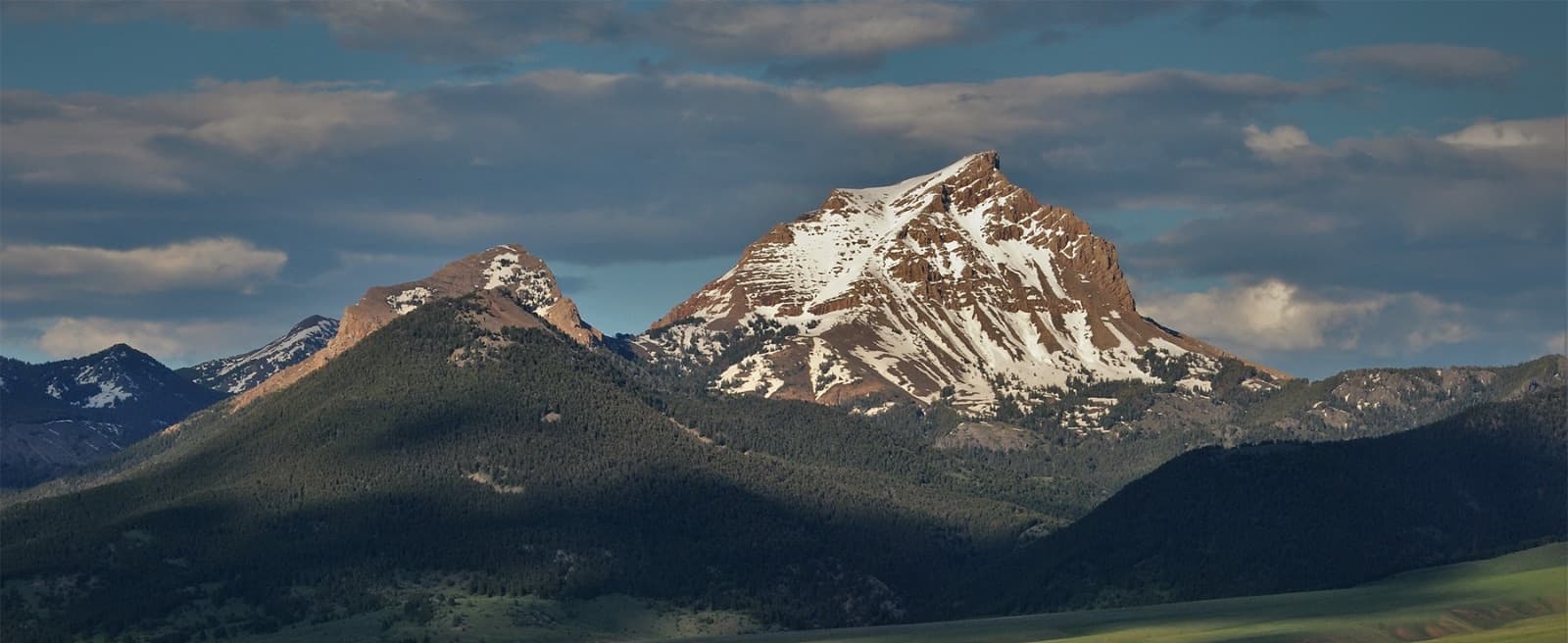
The North Platte is formed by the confluence of Grizzly and Little Grizzly Creeks in North Park near Walden, Colorado, flowing nearly 700 miles to its confluence with the South Platte in Nebraska, where the two form the Platte River. Several mountain ranges encircle North Park and the Saratoga Valley. The Never Summer Mountains and Rabbit Ears Range rise to the south, the Medicine Bow and Rawah Mountains tower to the east, and the Park Range and the Sierra Madre soar to the west. The Canadian, Illinois, and Michigan Rivers feed the North Platte as it winds by hayfields and willow thickets through North Park before entering North Gate Canyon just south of Wyoming.
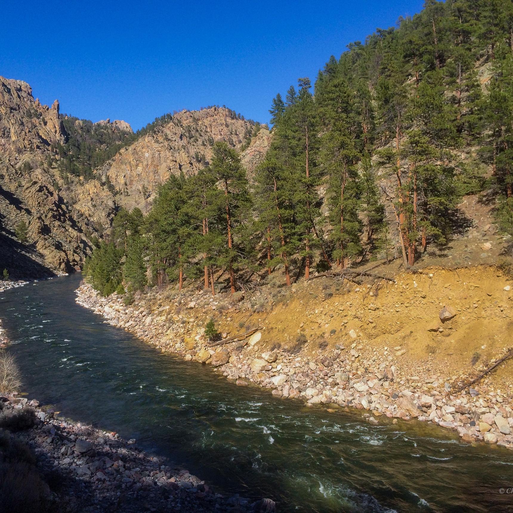
Reaching Wyoming, the North Platte flows through the Platte River Wilderness in the rugged North Gate Canyon. The river surges over numerous Class II to IV rapids such as Cowpie, Narrow Falls, Tootsie Roll, and Stovepipe. Bald eagles and red-tailed hawks screech overhead as moose, elk, mule deer, and black bears roam forested slopes, open meadows, and riverbanks. Bighorn sheep traverse crags and spiraled granite rock outcroppings while beavers and otters swim currents amid huge boulders.
Below Sixmile Gap, the river gradient eases, rolling over a few moderate rapids. The Medicine Bow foothills are a mixture of grassy, sagebrush, and shrub-covered hillsides and benches alternating with forests of limber pines, Douglas firs, aspens, and junipers. The river supports a healthy population of wild rainbows and browns in the canyon, containing shallow riffles, granite riddled boulder gardens, pocket water, deep runs, and holes.
Our float trips begin below Douglas Creek, utilizing various boat ramps with our BLM permits. From Douglas Creek to Bennett Peak, the river flows by the Beaver Creek Hills through open, arid canyon country fringed with remote rangeland and sagebrush hillsides, mixed with junipers, shrubs, and intermittent north-facing forested slopes. The river comprises boulder-strewn pocket water, riffles leading into runs, deep scarped holes, and long, gliding flats.
After drifting west past Bennett Peak, Brush Creek spills into the river, where it exits the canyon into Saratoga Valley and Wyoming ranch country. The river flows past cottonwoods, willowed banks, fertile hay meadows, gravel bars, and sandstone bluffs. Panoramas of the Sierra Madres to the west and the Medicine Bow Mountains to the east rise above the valley floor. The Encampment River merges with the North Platte from the southwest near the town of Encampment. The river braids around Treasure Island and numerous lush river bottom islands on its journey to the town of Saratoga. Moose browse wetlands, mule deer frequent shrubby juniper hills, bald eagles, and ospreys fish the river’s pools. The river dances over riffles into long runs, glassy flats, and tailouts, with sweeping bends, grassy undercuts, rocky cliffs, and downed timber providing trout havens.
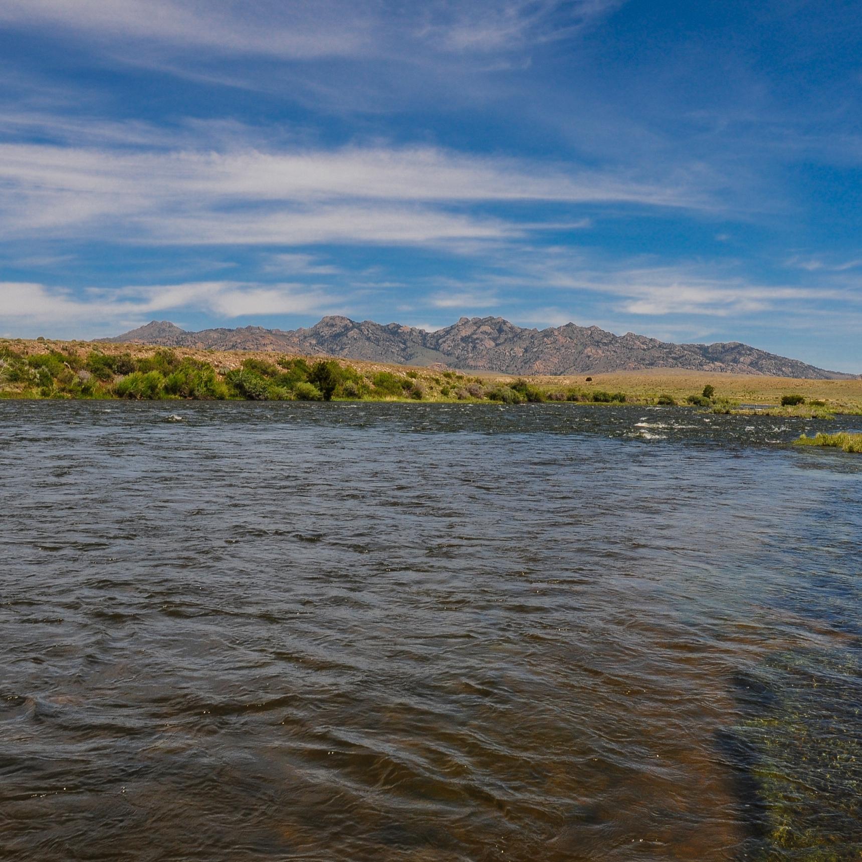
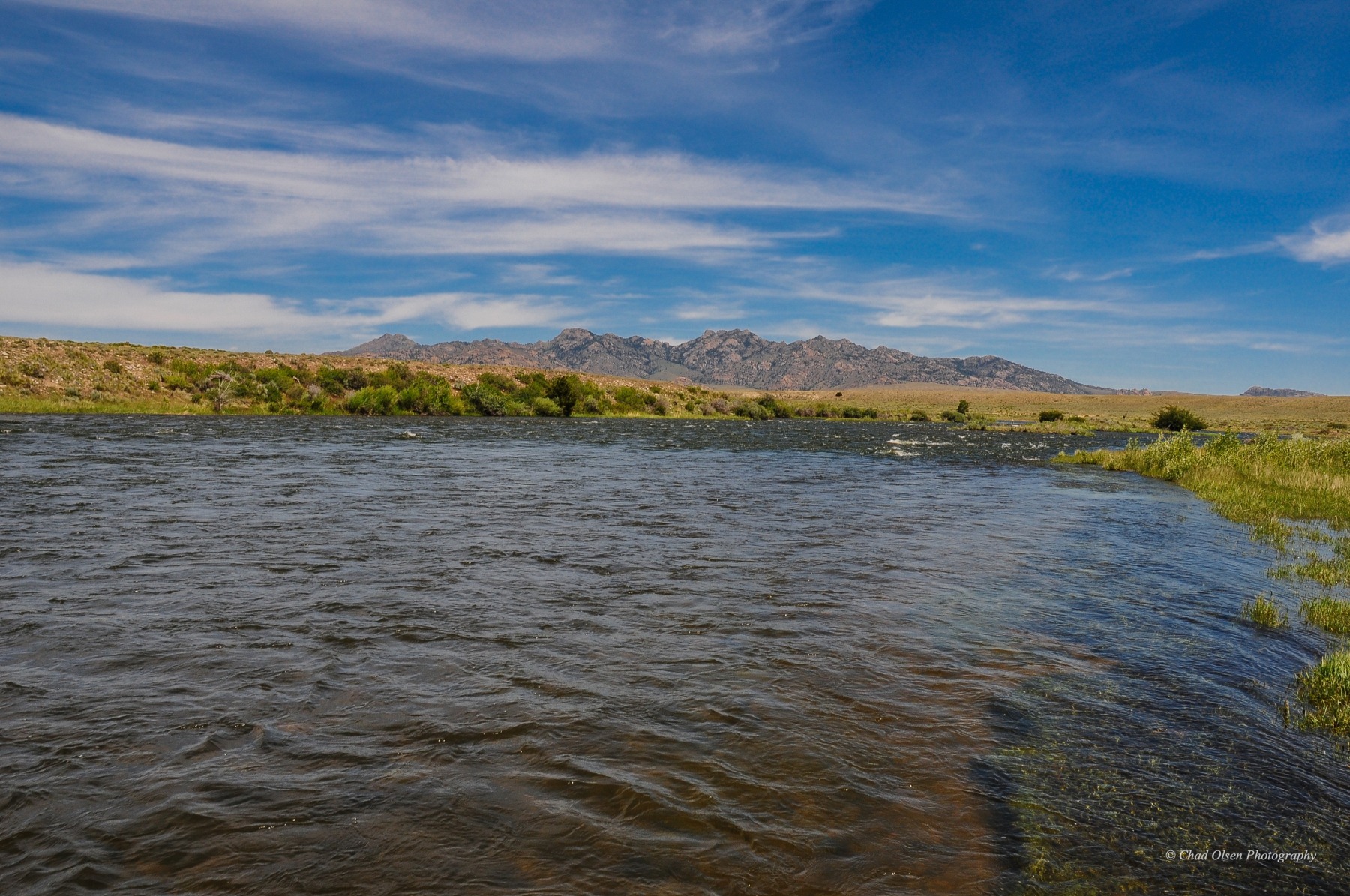
Hot springs enter the river at Saratoga, adding minerals and nutrients to the river. Below the town, the river branches around islands, running through cottonwood galleries, carving sandstone bluffs and meandering some 70 miles to Seminoe Reservoir through harshly arid, high desert plains and sagebrush shrublands of the Hanna Basin. The lower river is characterized by curving bend holes, oxbows, grassy banks, side channels, abysmal cliff holes, riffles, gliding runs, and long slow stretches.
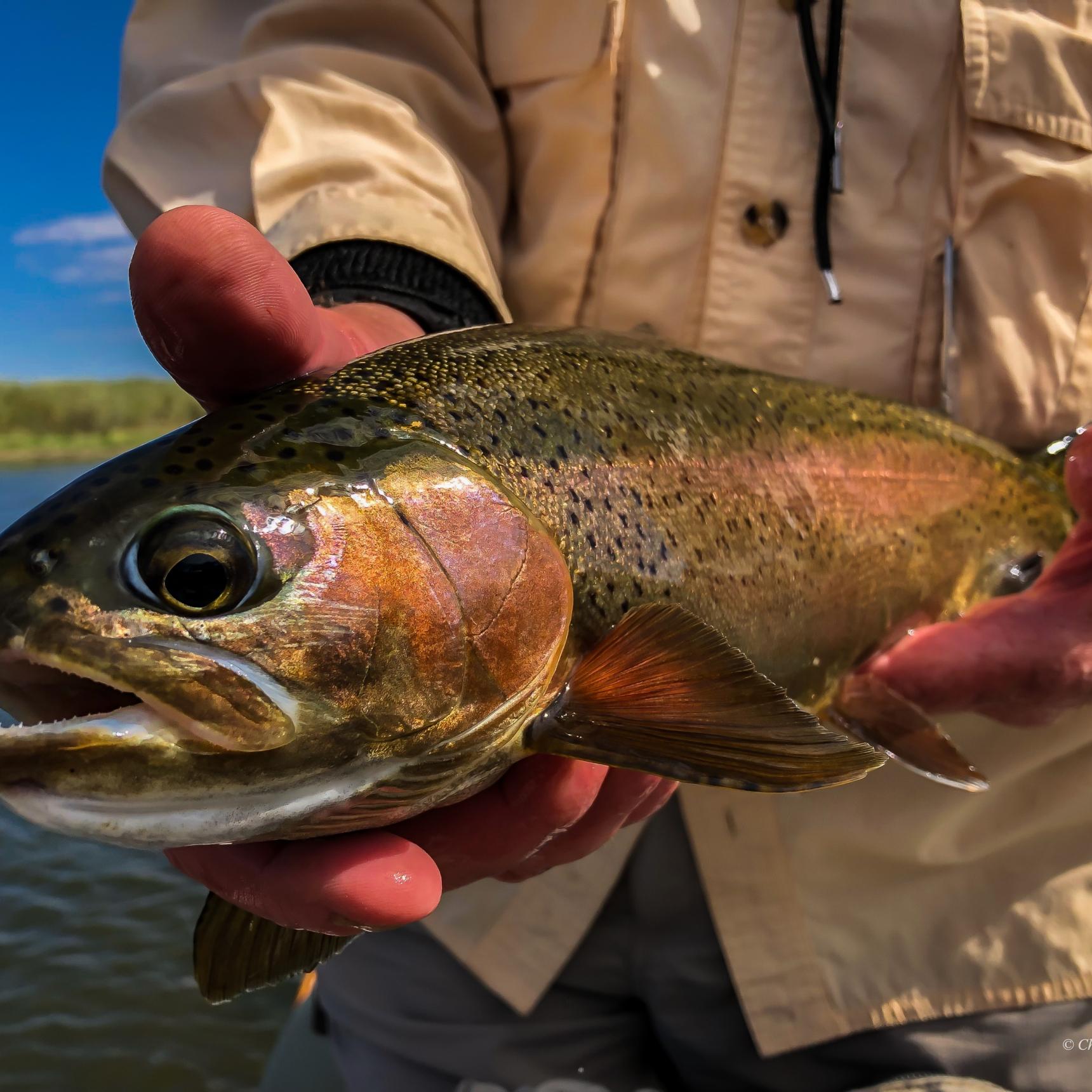
The entire North Platte watershed, including the Sweetwater and Encampment Rivers, was historically barren of native cutthroat trout. Trout stocking occurred in the late 1800s and early 1900s, and trout quickly spread throughout the watershed. Today, the river from North Gate Canyon to Saratoga is a Blue Ribbon fishery supporting over 2,000 wild rainbows, browns, and cutthroat trout per mile.
In the spring and fall, hatches of Baetis provide good dry fly fishing. In June, salmonflies hatch in North Gate Canyon, and as runoff subsides in mid to late June, golden stones, yellow sallies, pale morning duns, caddis, green and gray drakes hatch, bringing large trout to the surface. Tricos hatch from late July to early September, spinning like clouds of smoke above streamside vegetation.
Match hatches casting dries to rising trout in riffles, runs, and along banks, or to pods of rising trout in deep holes, foam back eddies, and slow slicks. Search the river’s currents with attractors and dry/dropper combinations or toss hoppers and terrestrials along grassy banks. Strip streamers and leeches, twitch yuk bugs and JJ Specials, drift buggers and rubber legs along fallen trees, and structured banks for trout in the 14” to 18” class. The population decreases further downstream, but hook-jawed trophy browns can reward patient anglers swinging streamers through tailouts or chucking articulated streamers to banks.
Encampment River
The Encampment River is a small freestone river flowing from the Mount Zirkel Wilderness on the east side of the Continental Divide in Colorado. Tributaries from the Park Range and Sierra Madres feed the river in Wyoming as it flows through a rugged canyon in the Encampment River Wilderness. It then winds through cottonwood-shaded bottomlands near Encampment, Wyoming, before flowing through Rainbow Canyon into the North Platte above Treasure Island. The float season on the Encampment is short, and fishing is best as runoff subsides in mid to late June. Salmonflies, golden stones, yellow sallies, caddis, green and grey drakes, and tricos provide exceptional dry fly fishing for beautiful rainbows and browns in the 14” to 18” class. Riffles, runs, sweeping bends with log jams, pocket-water, and rocky cliffs create excellent trout habitats which hold some monsters. The Encampment River is a dry fly angler’s paradise!
North Platte Tailwaters
From the early 1900s to 1961, the Bureau of Reclamation built a series of five dams designed for irrigation purposes and hydroelectric generation. In turn, these dams also created recreational opportunities and rich tailwater fisheries. The reservoirs inundate canyons carved by the river eons ago through the Seminoe and Pedro Mountains and Chugwater formation.
Miracle Mile
The North Platte flows through the Hanna Basin into Seminoe Reservoir north of Interstate 80 in south-central Wyoming. The Bureau of Reclamation dammed Black Canyon with Seminoe Dam, completed in 1939, where the river cut through the Seminoe Mountains. Two miles downstream, Kortes Dam was completed in 1951. Between Kortes Dam and Pathfinder Reservoir, the river flows through the famed “Miracle Mile” section, named by Curt Gowdy for its incredible fishing for big trout. The river actually flows five to eight miles from Kortes Dam to Pathfinder Reservoir; the length varies depending on the lake’s level.
Immediately below Kortes Dam, the river surges through the tight confines of Black Canyon, a.k.a. Seminoe Canyon, past vertical granite and quartz sandstone walls and talus slopes adorn with pines, firs, junipers, and rabbitbrush. Above the Seminoe Road bridge, the river is lined with willows and rocky outcrops with swift pocket-water, riffles, runs, occasional deep holes, and side channels. This stretch has freestone qualities more than tailwater traits due to its swift currents and rocky substrate, making for slippery wading conditions. And it fishes like a freestone with stonefly nymphs, rubber legs, and streamers working well.
The river slows from the bridge to the lake with occasional rocky drops and riffles leading into long, deep runs and pools. This lower stretch fishes like a tailwater with rock worms, scuds, San Juan worms, chironomids, and small midge and mayfly nymphs. The topography opens up as the river flows through an arid basin covered in Wyoming big sagebrush, rabbitbrush, prickly pear cactus, and yucca, with junipers sprinkled throughout and willows lining the river’s edge in places. Dramatic views of the Seminoe Mountains greet the eyes to the south and the Pedro Mountains to the northeast, where a Native American anencephalic infant mummy from the 1700s was discovered in 1932 by gold prospectors. Mule deer and antelope frequent the river bottom and uplands, and coyotes hunt for Richardson ground squirrels.
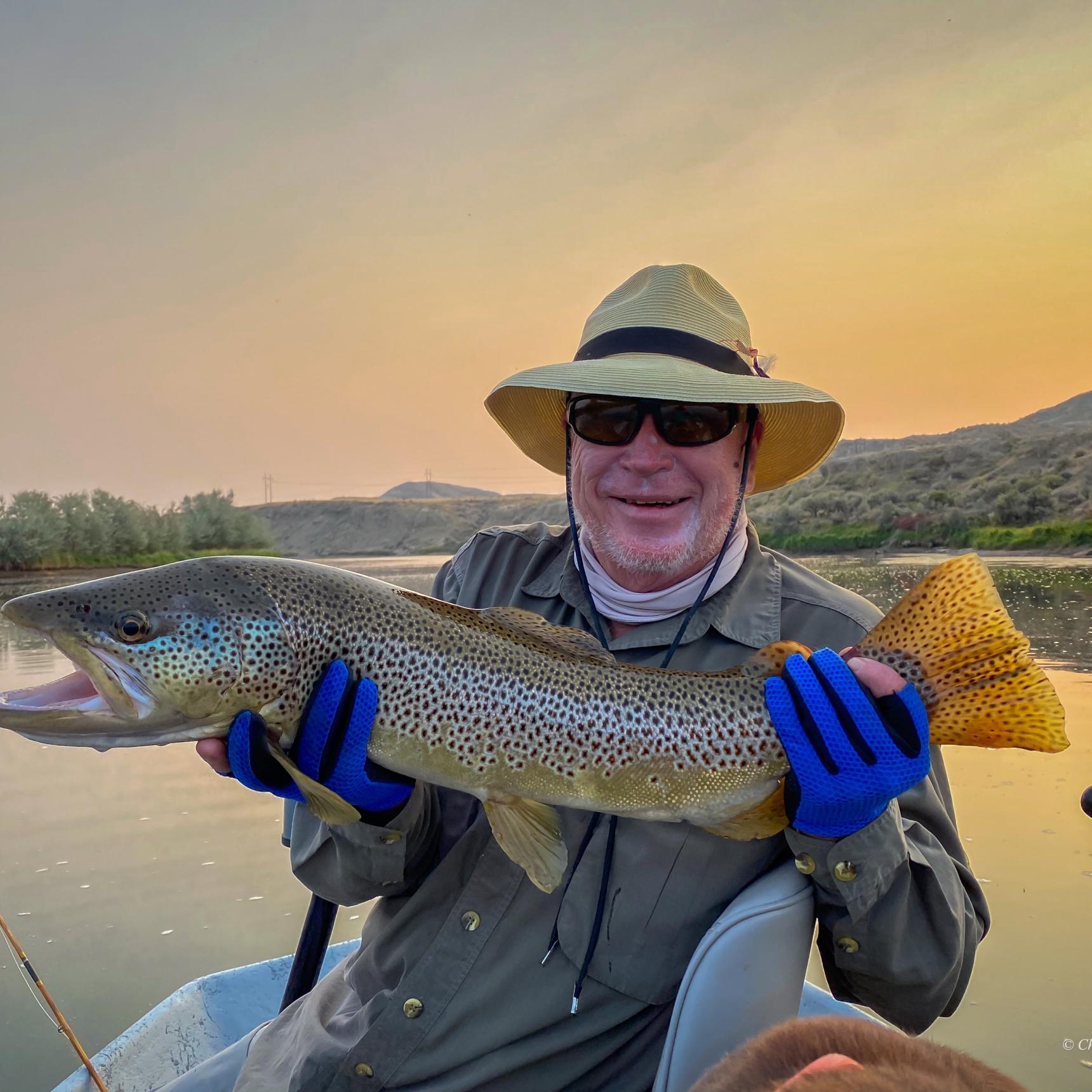
At times, the “Mile” holds over 3,000 fish per mile, but fish frequently move around this section, running back and forth from Pathfinder Reservoir. It’s a fickle section of the river with varying results. One day can be red hot, and the next can be stone cold. There are resident trout and large lake-run browns and rainbows, with occasional Snake River cutthroats and cutbow hybrids. The Miracle Mile is more about the quality of the fish size rather than quantity. An average day may see ten to twelve trout landed in the boat from 16” to 22” in the two to four-pound class. Good days will see many more landed and fish in the four to the six-pound range are not uncommon, with trophy browns and rainbows exceeding eight pounds a possibility.
Fishing is best in late spring to early summer and again in the fall. Hardy anglers strip and swing streamers or drift nymphs deep from November through February, searching for trophy browns. Nymphing and streamers are the best methods on the “Mile,” though June and July often provide good dry fly fishing with hatches of golden stones, yellow sallies, caddis, and pale morning duns.
The roads are rough, and the silty soils become impassable when wet. You’ll need a vehicle to follow your guide and run your own shuttle or pay a steep price to find someone to help with a shuttle. This section has fewer trout than other portions of the river, but trophy size trout are possible. The scenery, freestone nature of the river, and remoteness make fly fishing on the Miracle Mile a unique experience.
Fremont Canyon
The North Platte empties into Pathfinder Reservoir after flowing through the Miracle Mile. Pathfinder Dam was the first dam constructed in the North Platte Basin, completed in 1909 under the Bureau of Reclamation. The dam was built in “Big Canyon” downstream of the confluence of the North Platte and Sweetwater Rivers, between the granitic rocks of the Pedro and Granite Mountains. In 1958 an 18 feet diameter tunnel was constructed from Pathfinder Dam three miles to the Fremont Canyon Powerplant at the southern end of Alcova Reservoir, diverting all the river’s water through the tunnel, leaving the native channel virtually dry. What was once a raging whitewater canyon was reduced to a trickle. On a group expedition in 1842, explorer Lt. John C. Fremont, nicknamed “the Great Pathfinder,” ran the canyon, only to capsize in one of the canyon’s rocky falls.
Immediately below Pathfinder Dam, the river flows through a gorge of vertical tannish-pink granite walls rising hundreds of feet above. A quarter-mile later, the river emerges from the canyon, flowing under a footbridge into the open Cardwell meadow section, where the river flows for three-quarters of a mile before plummeting into the depths of Fremont Canyon. The country is surrounded by granite rock and limestone formations with junipers, sagebrush, and rabbitbrush.
In 1997, a low-flow outlet was completed on the dam allowing a minimum stream flow of 72 CFS in the four-mile section between the dam and Alcova Reservoir, a cooperative effort between the Wyoming Game & Fish, Wyoming Fly Casters, and Bureau of Reclamation. In the early 2000s, the streambed was reconstructed to accommodate low flows and improve trout habitat, and private land was acquired in an easement and turned into the Cardwell public access.
These conservation efforts have resulted in a prospering tailwater fishery. The river is small and easily fished on foot, where anglers can sight fish with small midge and mayfly nymphs, scuds and rock worms to rainbows, and occasional browns and cutthroats averaging 16” to 20”. Some absolute pigs are spotted and occasionally landed here. Easily accessible and wadeable at Cardwell, the North Platte, a small stream in this reach, gets pressured. To escape the crowds, adventurous anglers can climb into the depths of Fremont Canyon to fish its green, abysmal holes.
Alcova Dam Tailwater
In the 1890s, the Alcova Hot Springs Company had plans to develop Alcova Hot Springs into a thriving health resort near the town of Alcova. Due to financial difficulties, their vision was never realized. The town of Alcova was established as a stage stop and settlement between Muddy Gap and Casper. In 1938, the Bureau of Reclamation completed Alcova Dam, flooding Alcova Canyon and all but remnants of Alcova Hot Springs, which are still active at the dam’s base. Most hot springs were plugged during dam construction, and water from the hot springs heats the power plant today.
The river cuts through Ten Sleep sandstone, limestone formations, and the brilliant red rock Chugwater formation. Junipers, sagebrush, rabbitbrush, and Indian paintbrush grow in this scenic little valley. The river only flows for about a mile and a half before entering Grey Reef Reservoir. This short tailwater section provides excellent fishing for 16” to 20” rainbows using tiny midges, mayflies, and red chironomids, locally called “rock worms,” that flow from the reservoir. Wade fishing is possible here, and full-day float trips are provided by our Wyoming fly fishing guides.
Alcova is now a sleepy fishing settlement, home to Sloane’s General Store and the Sunset Grill dive bar.
Grey Reef
In 1961, the Bureau of Reclamation constructed Grey Reef Dam as an afterbay dam to regulate the fluctuating water flows from hydroelectric generation upstream at Alcova Dam and Powerplant. Named after the nearby Grey Reef formation, this world-renowned section of the North Platte holds over 3,000 trout per mile.
Located in the high sagebrush plains of central Wyoming near Casper, this nutrient-rich tailwater fishery provides stable flows and water temperatures, creating ideal trout conditions. The trout population consists primarily of rainbows with occasional browns, cutthroats, and cutbows averaging 15” to 20”. Trophy browns and rainbows exceeding two feet are always a possibility. Trout gorge on tiny midge and mayfly nymphs and rock worms year-round. The river is best fished from a boat, and nymphing produces good numbers of feisty rainbows. While nymphing deep runs, drifting leeches, and stripping streamers, anglers may tie into a kype-jawed brown trout of a lifetime, as browns between 24” and 30” have become increasingly common in recent years.
Pale morning duns, caddis, and yellow sallies hatch in June and July, and blizzard hatches of tricos occur in August and early September. Hoppers and craneflies also bring large trout to the surface in summer and early fall, and hatches of Baetis provide good dry fly fishing at times in the fall.
Silty washes can muddy the river from snowmelt and rainfall in the spring, but the upper river generally remains fishable. And the wind can BLOW, especially in the spring and fall.
The river makes sweeping bends with slow currents dropping over shallow riffles into long runs, deep holes, gliding tailouts, and fishy side channels. As cattle and sheep graze nearby fields, the river lazily meanders past hayfields, sagebrush hills, chalky bluffs, and coulees. Russian olives, willows, and occasional cottonwood trees provide cover along riverbanks. Antelope and mule deer are frequently seen, and golden eagles launch from cliff-hanging nests, searching for prey in the sagebrush flats. Views of the Shirley Basin, Laramie Mountains, and Casper Mountain surround the river.
Government Bridge to Casper
From Government Bridge to Casper, the river has good fishing for rainbows in the 14” to 18” class and trophy browns. Nymphing runs and riffles consistently produce results on the North Platte while drifting dry/dropper combinations in summer and fall are effective. This section generally offers better dry fly fishing with good caddis hatches, yellow sallies, pale morning duns, and tricos during the summer. Hoppers, terrestrials, and craneflies work well from late July to mid-September, and Baetis hatches provide good surface action in the fall. Crawfish patterns twitched over weeds beds, leeches and streamers worked through holes and near riverside structures often get the attention of husky rainbows and browns. The lower river may get muddy from rain showers and snowmelt in the spring.
The river drifts past gray shale cliffs, cottonwood stands, Russian olives, and willows with beautiful views of unique geological formations and nearby mountains, while mule deer frequent the juniper hills. The river flows through The Narrows between Bessemer and Casper Mountains and then around Bessemer Bend into Casper.
Casper to Glenrock
Fishing through Casper is surprisingly good, stripping streamers for brown trout, drifting nymphs through riffles and runs, matching hatches, or searching with attractors and terrestrials. From Casper to the Dave Johnston Power Plant just east of Glenrock, the North Platte flows through high sagebrush plains and cottonwood river bottoms. The river splits around grassy islands and drifts by shores lined with Russian olives and intermittent overhanging sandstone bluffs. Dry fly fishing can be good at times, especially during the fall Baetis hatch when pods of big rainbows gulp down duns. Running nymphs through riffles and runs works well, and long, slow stretches are best fished with streamers for rainbows and big browns.
Required Licenses & Fees
Trips Available on North Platte River
North PlatteFly Fishing Vacations

