Yellowstone River Watershed
Float Fishing Paradise
Book an AdventureOur Territory
Yellowstone Waters at Their Most Scenic
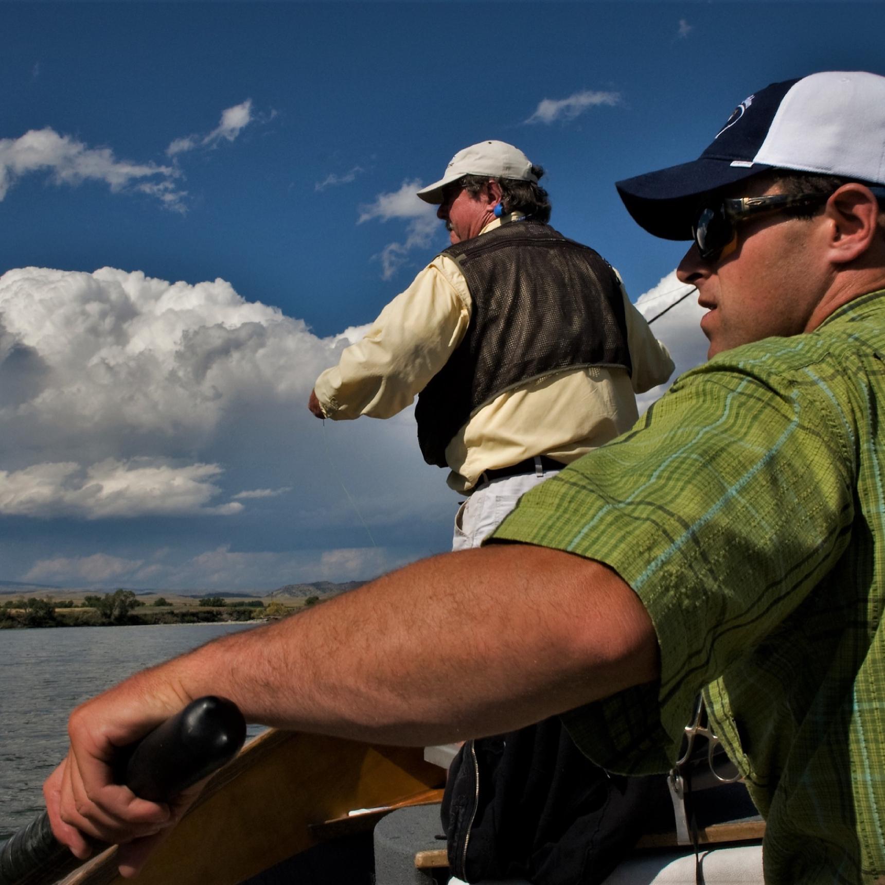
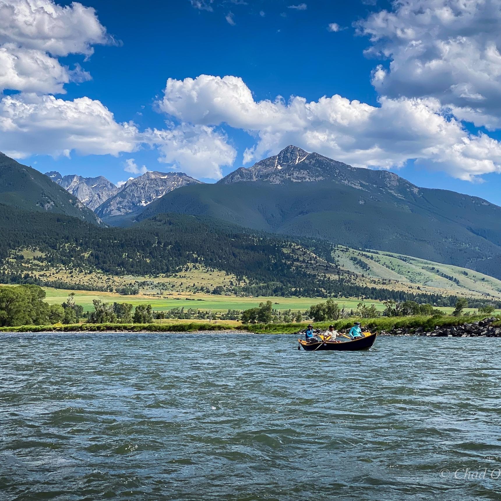
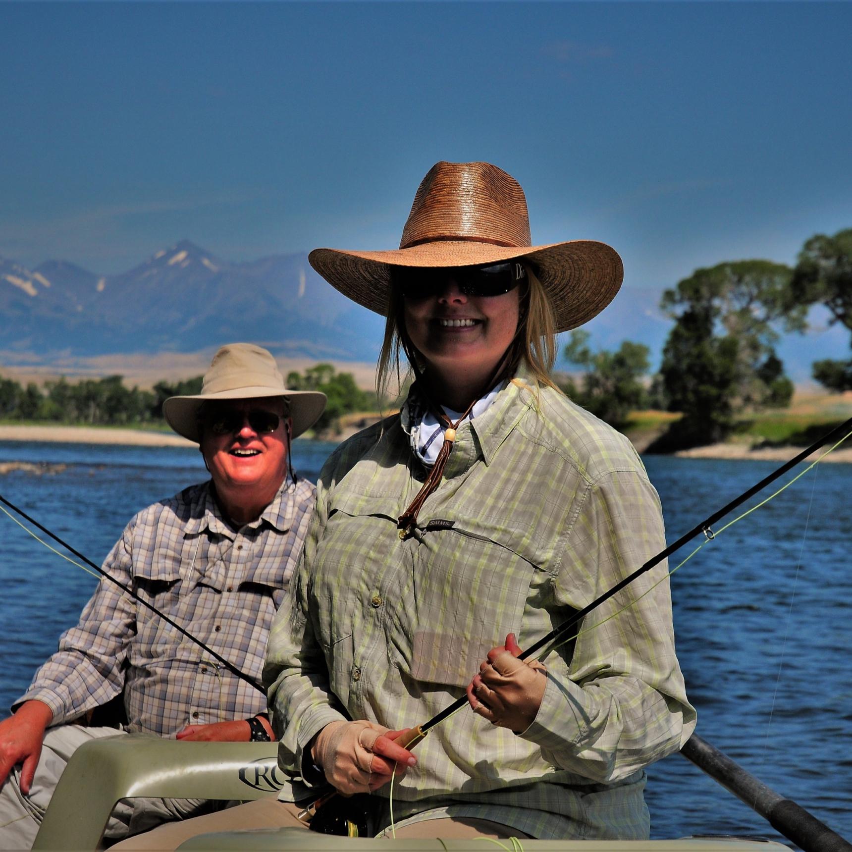
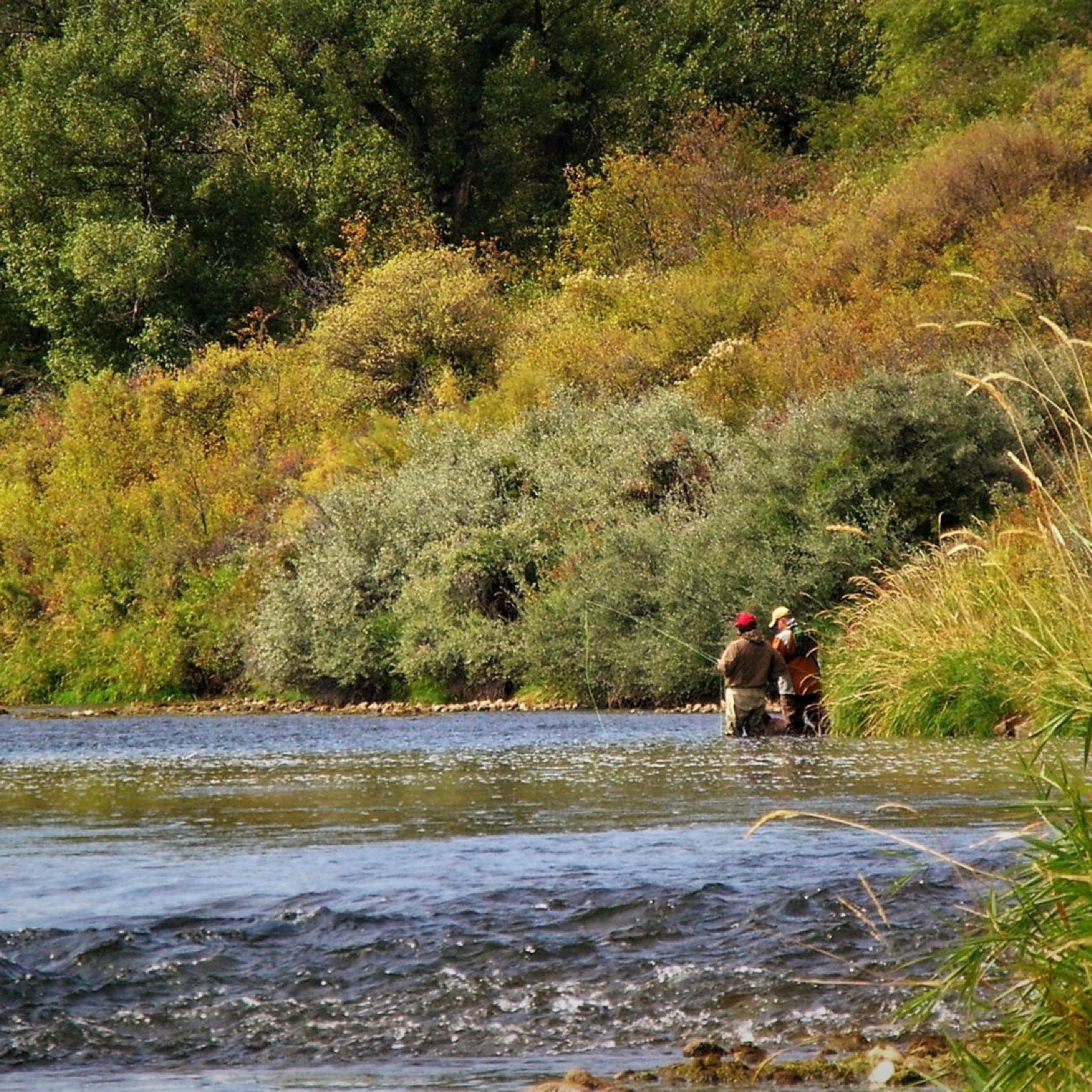
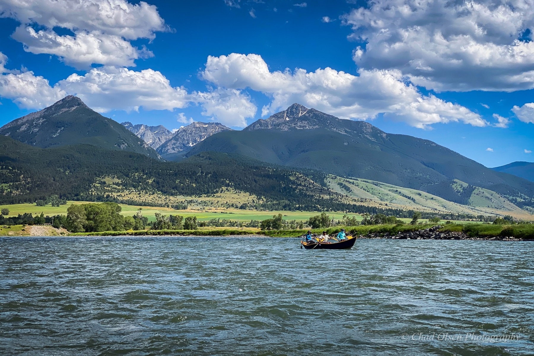
After tearing out of the Yellowstone canyons, the Yellowstone river branches out into Montana and Wyoming. The Yellowstone river watershed is made up of the Yellowstone and its various off-shoots. The Yellowstone River right outside of Yellowstone Park in Montana is one of the most scenic rivers in SW Montana. After the narrow canyons, the Yellowstone runs through the aptly named Paradise Valley that leads down into Livingston, MT. This stunning stretch of water is one of the most sought after blue ribbon fly fisheries in the country. With soaring mountain peaks, abundant wildlife, and incredible fly fishing opportunities, the Yellowstone River in SW Montana is an incredible fly fishing vacation option.
Other rivers in the Yellowstone River watershed are the Bighorn, Stillwater, Boulder, and Clarks Fork. The Yellowstone watershed also includes a countless number of streams, creeks and forks that offer unique and memorable fly fishing experiences.
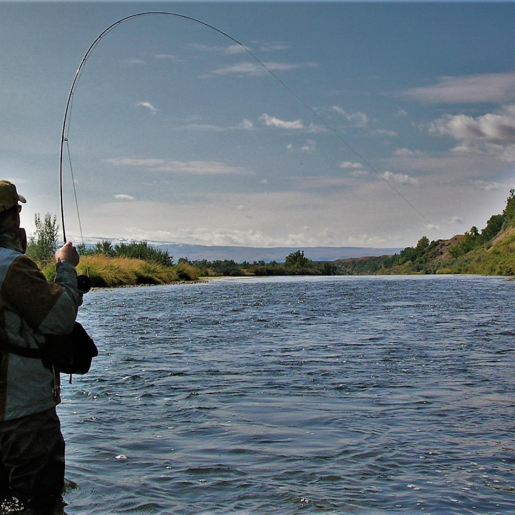
Each river is great for unique guided fly fishing trips on the water throughout Montana and Wyoming.
Bob Von PentzI've fished with Chad and GYFO every year since 2000 on many of the rivers in the Greater Yellowstone area. We've fished solo and on group outings I have sponsored for friends and clients with multiple boats with his very capable guides. Astute guides and teachers, they even helped teach my kids to cast a fly line many years ago. I keep coming back because Chad always makes the extra effort to make each trip rewarding.
Washington, D.C.
The Rivers of the Yellowstone River Watershed
Bighorn River Guided Fly Fishing Trips
The Bighorn River begins as the Wind River, rising from Togwotee Pass near Brooks Lake west of Dubois, Wyoming. The river flows 460 miles through Wyoming and Montana, through a varied landscape ranging from tumbling mountain headwaters to desolate sagebrush badlands and the spectacular Wind River and Bighorn Canyons. From its headwaters downstream just shy of Thermopolis, Wyoming, the river is named the Wind River. Native Americans, mountain men, and early explorers called the river the Wind from the Wind River Canyon upstream, while downstream it was called the Bighorn River. The Wedding of the Waters is a demarcation below the Wind River Canyon where the river changes names from the Wind to the Bighorn. The Bighorn River, the largest tributary to the Yellowstone River, flows through Wyoming’s Bighorn Basin into Bighorn Lake. Emerging from Yellowtail Dam in Montana, the river flows through the Crow Indian Reservation before eventually spilling into the Yellowstone River.
Wind River Headwaters
Wind River Lake feeds into the trickling headwaters of the Wind River near Togwotee Pass. The small creek gains steam from rushing, snow-fed tributaries draining the Absaroka and Wind River Mountains. Its upper reaches twists through subalpine meadows, fir and spruce forests, and willowed marshes with sweeping bends and gravel bars. Riffles drop into beautiful holes and deeper runs with grassy cutbanks. Shiras moose browse willow thickets, elk herds graze mountain meadows, and bighorn sheep frequent the prolific templed cliffs. Trophy golden trout swim the icy waters of cirque lakes and streams high above treeline in the Wind River Mountains.
The small mountain stream doubles in size upon the entry of DuNoir Creek from the north, draining the towering buttresses of Coffin Butte and The Ramshorn. The surrounding country transitions into rising sagebrush-covered hills leading to higher lodgepole pine forests. Below Dubois, the river accelerates through crowded rock gardens and brushes against badland bluffs before cascading over tightly constricted rapids, cutting through deep holes and pocket-water lined with massive granite boulders in Fish Canyon. The Jakey’s Fork and Torrey Creek tumble into the river from the south, draining the high peaks and lakes of the Wind River Range, plunging over waterfalls on their descent. Red cliffs rise above the river as the East Fork enters from the north, draining the peaks of the Absaroka Range via the Wiggins Fork, Frontier, and Emerald Creeks.
The upper Wind River contains a species mix of native Yellowstone cutthroats, rainbows, cutbows, browns, and brookies. The headwaters above DuNoir Creek have excellent fishing for colorful brook trout with occasional other species. Trout grow larger, and species diversify as the river drops in elevation, as feeder creeks and warm springs continually add to the river’s volume. Cutthroats, browns, rainbows, and cutbows show up in increasing abundance below DuNoir Creek and Dubois. PMDs, tricos, caddis, drakes, stoneflies, and terrestrials provide ample dry fly fishing. The upper Wind River contains trout in the 10” to 16” class, with enough larger trout to keep anglers on their toes. Wade fishing requires careful execution on the rounded boulders and slippery bottom, and during periods of higher flows, float trips in rafts are possible on some sections.
Tributaries provide excellent small stream wade fishing opportunities. Grassy cutbanks, braided gravel bars, rugged canyon pocket-water, and emerald pools hold a variety of trout species, ranging from pan-sized to 18” plus.
Wind River Indian Reservation
Below the East Fork, the river enters the Wind River Indian Reservation, mellowing out as it braids around willowy islands, through cottonwood groves and hay pastures, picking up Dinwoody Creek. The river is locally known as the Upper Big Wind on the reservation near Crowheart. The fertile riparian habitat of the cottonwood-laced river corridor is contrasted by the arid high plains desert, its rolling sagebrush scrubland hills and painted badlands, with broad vistas of the snow-capped peaks of the Wind River Range to the southwest. The river courses around sprawling gravel bars, cutting deep sweeping bends, slices into bluffed cliffs, and rushes through pocket-water and riffles flowing into long, deep runs. Downstream of Crowheart Butte, Bull Lake Creek dumps into the river adding its clear cold currents before Diversion Dam captures much of the river’s flow, diverting it into canals and Pilot Butte Reservoir.
Big Yellowstone cutthroats, rainbows, cutbows, and browns average 12” to 18” with some donkeys hanging beneath cutbanks and in deep holes. As runoff subsides, streamers and big ugly nymphs trigger these big fish to strike. Early season hatches of caddis and golden stones bring fish to the surface, while wind-blown hoppers and terrestrials provide dry fly action later in summer and early fall. Elk, deer and an occasional moose frequent the river bottom as eagles and hawks soar high above.
Below Diversion Dam, the water and trout population thin out as the river continues its journey, picking up the Little Wind River, flowing past Riverton to Boysen Reservoir.
Wind River Canyon
The Wind River boils up below Boysen Dam at the head of the Wind River Canyon. The upper two miles flow through Boysen State Park, with its two scenic campgrounds providing outstanding views of impressive canyon walls. The river glides over long, deep, slow runs and holes below the dam. It then rushes under a high railroad bridge through a tightly constricted stretch of deep holes and boulder-riddled pocket-water. After this, the river flows over shallow riffles and slow, graveled runs before entering the Wind River Indian Reservation.
Pinched by ancient, jaggedly raw, dark Precambrian cliffs, the river plummets into the jaws of Wind River Canyon. Slicing through rock formations over 3 billion years old, the Wind River carves through the Owl Creek and Bridger Mountains; the river is older than the mountains. Geological signs label rock formations along the highway in the canyon, which make up most of the earth’s history – Jurassic shales, sandstones, siltstones, Triassic Chugwater, Dinwoody, Morrison and Tensleep Formations; Gallatin, Mississippian, Madison, and Pennsylvanian limestones layers.
The river rages over Class III and IV whitewater rapids, with names such as The Tunnels, Black Coal, Sharpnose, Sphincter, Chimney Rock, Freight Train, and Washakie Falls. Turbulent pocket-water, seemingly bottomless holes, swirling back-eddies, rip-rapped railroad and highway banks, long glossy runs, choppy riffles, and grassy islands collaborate the canyon’s waters. House-sized limestone boulders rise through olivine mid-river currents. Poison ivy-covered talus slopes rise to grassy, juniper, and boulder-strewn slopes, giving way to vertical limestone cliffs.
Big browns, rainbows, cutthroats, and cutbows swim this rich tailwater’s gorgeous waters. Wild trout tread shallow riffles, hover in surging pocket-water, swim deep holes, and hold tight along grass-lined river banks. Broad-shouldered trout, some quite obese, range from 16” to 22” with occasional monsters exceeding 26”! Fishing streamers in the river’s pockets, deep holes, and cutbanks often yield big payoffs, especially on cloudy days or when the evening shadows blanket the river. Nymphing worms, sowbugs, cranefly larva, rubber legs, and small mayfly nymphs are productive. But dry fly fishing, and especially sight-fishing, is most exciting with hoppers, beetles, crickets, Chubby Chernobyls, and bushy attractors working throughout the season. And every few years, a cicada hatch brings all the big boys to the surface. Crawdad patterns twitched over weed beds can be deadly during warm summer and early fall days.
The Wind River Canyon is a magically beautiful place, sacred to Native Americans and cherished by those lucky enough to spend time in its rugged confines.
Anglers must purchase a tribal fishing and trespass permit when fishing on the Wind River Indian Reservation. Wind River Canyon Whitewater offers limited guided fishing trips on the Upper Big Wind near Crowheart and two boats per day in the Wind River Canyon.
Bighorn River Fishing Trips at Thermopolis
At Thermopolis, Wyoming, the Bighorn River is the base camp for your Thermopolis Fly Fishing Vacation. Our Bighorn River, Wyoming fishing trips begin at the Wedding of the Waters just below the canyon and the Wind River Indian Reservation boundary.
The Bighorn River settles down after a tumultuous journey through the Wind River Canyon. The river gently flows through an arid landscape of juniper foothills and cultivated river bottom lined with Russian olives. Views of the Wind River Canyon gashing through the landscape to the south next to the rising, fissured Minnesela Slope welcome the eyes. The red slopes and flat summit of Roundtop Mountain stand watch over the town of Thermopolis.
The river flows over glossy runs with grassy thickets wavering in currents. Seams and runs cruise past banks and islands covered by high, lush grasses. Shallow riffles spread across gravel bars with depressed buckets leading into deeper runs. Overhanging Russian olives collect floating moss, creating shelters for trout to hang beneath. Below the Buffalo Creek confluence, impressive, vertical red sandstone cliffs of the Chugwater Formation rise straight up from the river, providing a photogenic fishing backdrop.
The Bighorn drifts through the town of Thermopolis into Hot Springs State Park, where Bighorn Springs pours into the river over its multicolored travertine terraces. The river cuts through travertine cliffs gaining nutrient-rich, warm waters for the next mile as it gently drifts north of town past the Fountain of Youth. Below the town, the river slows down with fewer riffles, and a couple of rocky diversion dams provide tricky obstacles for drift boats and rafts floating this stretch. The lower river is characterized by sweeping bends, mature cottonwood trees, braided channels, grassy islands, and persistent Russian olives. The river flows by pastoral croplands, sagebrush scrublands, and past rocky rimrocked badlands.
Bald eagles and ospreys hunt the river’s currents. Chocolate-colored minks pounce along rocky shorelines, whitetail deer flag through riverside grasses, and pheasants crow in nearby cover. Rocks and gravel bars are littered with crayfish shells discarded by raccoons that devour these shellfish.
Trout gorge on prolific numbers of sowbugs, aquatic worms, Baetis, tricos, midges, yellow sallies, and caddis. Early summer sallies, sparse caddis, blanket hatches of spring and fall Baetis, and a lengthy trico hatch lasting from late June into early October provide challenging dry fly fishing. Fish rise in shallow riffles, tight to overhanging grassy banks, and on glassy microcurrents throughout the river. Pods of fish can be heard slurping trico spinners and are sometimes mistaken for a riffle. Delicate casts and drag-free downstream drifts with light tippets are required to hook these wary fish. Once a fish is hooked, a spooked pod of rising trout explodes, reminiscent of hooking a bonefish amid a shallow water school.
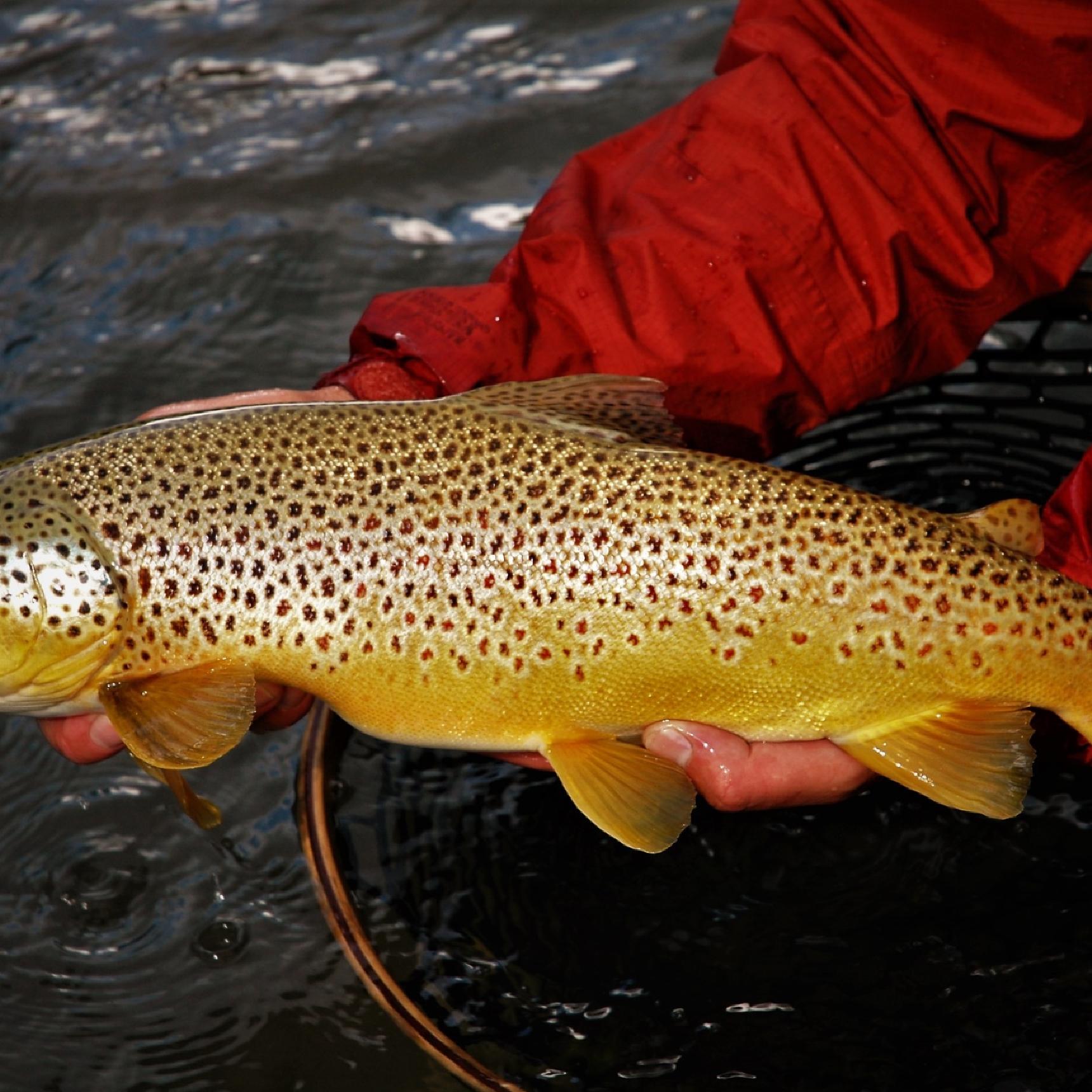
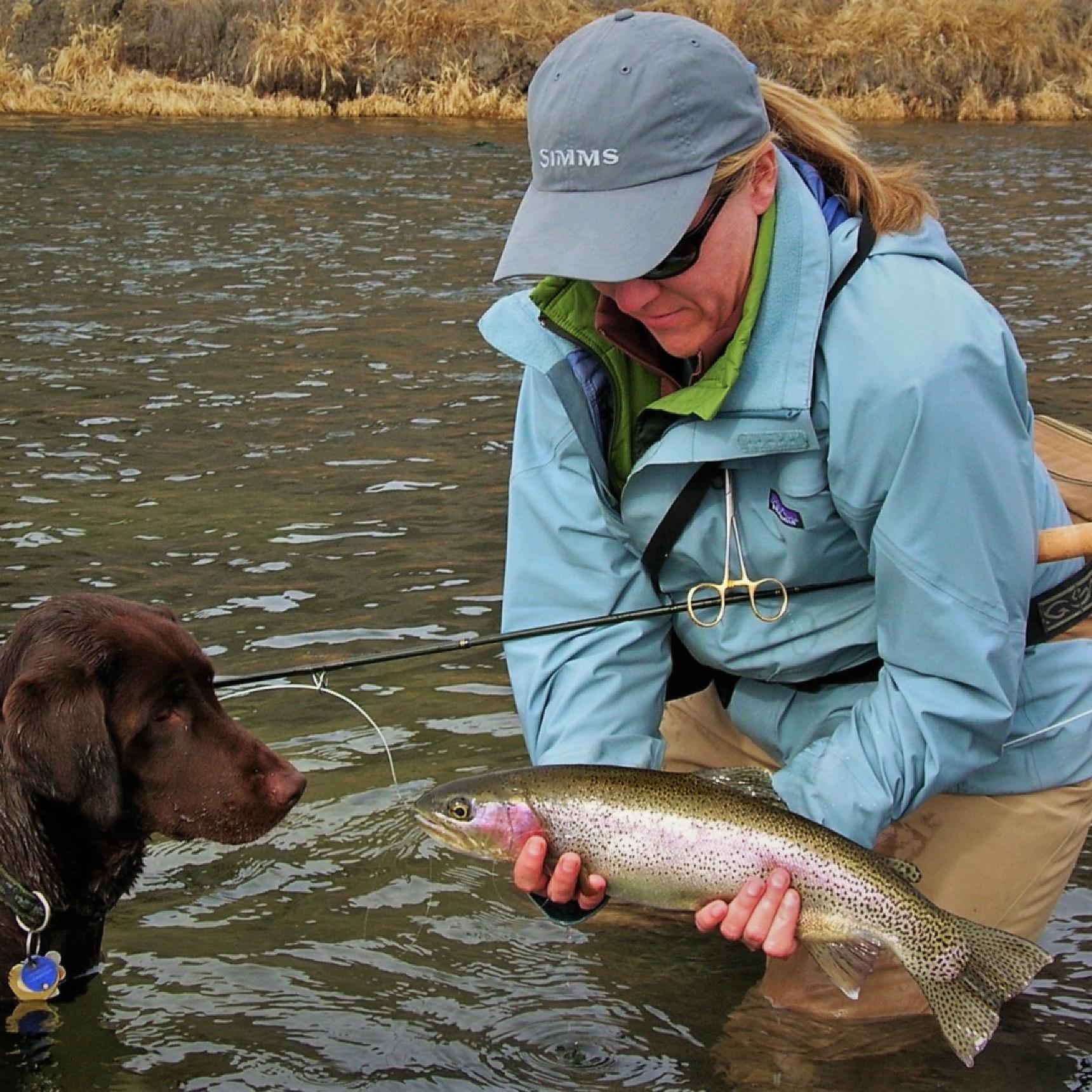
These trout are beasts! Rainbows predominate, but large browns, cutthroats, and cutbows are present. Anglers can’t appreciate the actual weight of these trout until they are landed and get a look at their girth. Most trout run from 18” to 22”, and you never know when a huge brown or rainbow topping 24” will grab your fly. These fish are powerful, often burying into weed beds or making surging runs followed by acrobatic aerial leaps. Our Wyoming fishing guides will help you target these bruising trout. The highest concentration of fish is above Hot Springs State Park, while numbers diminish further downstream as the river eventually transitions into a dewatered warmwater fishery above Worland. Massive carp can be found in slower holes and backwaters where anglers can sight-fish for these freshwater redfish resembling brutes.
Trout frequently hold in shallow riffles, graveled buckets, under grassy cutbanks, along rocky shorelines, in mid-river runs, and under overhanging Russian olives and their moss pads. Big trout sliding out from overhanging cover across pebbled bottoms in shallow, clear water to grab your fly provide thrilling visuals.
Shallow water nymphing and dry/droppers work well when fish aren’t zeroed in on a specific hatch. Streamers and crawfish patterns stripped and twitched along banks, over weed beds, and through buckets incite aggressive strikes. Deepwater nymphing is reserved for specific stretches and times of the year when preferred tactics aren’t working.
Montana’s Bighorn River Tailwater
Montana’s Bighorn River is one of the countries’ most famous trout fisheries. Stories of dozens of trophy trout caught daily have circulated fly fishing circles since 1981 when a court ruling opened the river to fishing on the Crow Indian Reservation. While the fishery fell on hard times in recent years due to high water and poor spawning recruitment, it is strongly recovering. A balanced trout population of rainbows and browns with diverse age classes signals a bright future. Although the trout population per mile is not as high as in the past, their average size and health are impressive.
The Bighorn River flows north from Wyoming into Yellowtail Dam, completed in 1967. The reservoir inundated Bighorn Canyon, creating a scenic lake for fishing and recreation bordered by Bighorn Canyon National Recreation Area and the Crow Indian Reservation. With its vertical limestone and red rock walls, this spectacular canyon cuts between the Bighorn and Pryor Mountains. The Bighorn River flows from Yellowtail Dam into Afterbay Dam near Ft. Smith, Montana, where the world-class tailwater prairie fishery begins.
The Bighorn River flows 44 miles through the Crow Indian Reservation from Afterbay Dam to Hardin, Montana. The river drifts through a mix of lush river bottoms, arid rolling uplands of sagebrush shrubland drained by coulees, and agricultural fields of hay, alfalfa, sugar beets, and wheat. The Bighorn lazily winds past cottonwood groves, Russian olives, grassy fields, and cat-tailed sloughs. High, broken banks and coulees are choked with thick brush, and channels braid around numerous islands blanketed in thick grasses. Cackling rooster pheasants can be heard and occasionally glide across the river or flush from the streamside brush. Abundant waterfowl paddle the river’s currents and cover the water during cold winter days. Whitetail deer reside in the river corridor, and an occasional black bear visits its banks. Beautiful views of the scraggy Bighorn foothills rising to the south and the Pryor Mountains to the west evolve throughout a float trip on the Bighorn River.
The river’s powerful rainbows and browns run from 16” to 20” on average, with some fish approaching 24”. Nymph fishing the river’s many riffles, runs, and side channels with sowbugs, scuds, worms, midge, and mayfly nymphs is the most consistently productive method on the Bighorn. But the river also provides excellent opportunities to strip streamers from the boat, casting to cutbanks, overhanging Russian olives, and rising bluffs. Prolific hatches of Baetis emerge in the spring and fall, PMDs, tricos, and caddis during the summer and early fall, and midges much of the year. Many anglers enjoy matching the Bighorn’s bountiful hatches, casting dries to bank feeders, pods of rising trout in calm currents, and trout gulping in shallow riffles. Hopper fishing can be superb some years from late July into September. Anglers may fish the Bighorn River year-round due to its stable flows and water temperatures, but the best fishing is in the spring and fall.
During a Bighorn River fishing trip, you will fish from drift boats and get out to wade fish famous runs and holes such as the Meat Hole, The Aquarium, Bay of Pigs, Duck Blind Channel, Drive-In, and Glory Hole. The densest trout population is in the upper three miles, but there’s excellent fishing to Bighorn Access 12 miles below the dam. The trout population decreases further downstream, but so does the fishing pressure. From Bighorn Access downstream 10 miles to Mallard’s Landing and another 10 miles down to Two Leggins, anglers can expect to catch fewer trout, but the average size increases with shots at trophy browns and rainbows. Below Two Leggins, the trout numbers dwindle, but behemoth browns can be caught by anglers stripping streamers. Below the town of Hardin, the river shifts into a warmwater fishery populated with smallmouth bass, carp, goldeye, and catfish.
Bighorn River fishing is some of the best in the country. Contact us to schedule a guided Bighorn River fishing trip.
Required Licenses & Fees
Trips Available on Bighorn River
Bighorn River Fly Fishing VacationsTrips Available on Clarks Fork Yellowstone
Cody, Wyoming Fly Fishing VacationsRed Lodge, Montana Fly Fishing VacationsYellowstone River Fly Fishing VacationsTrips Available on Paradise Valley Spring Creeks
Bozeman, Montana Fly Fishing VacationsLivingston, Montana Fly Fishing VacationsOnce the Yellowstone River leaves Yellowstone National Park, the Montana stretch of river lazes its way through banks of cottonwoods, tumbles down rocky canyons, and gently curves through the peaks of the Gallatin Mountain range. This river is the only un-dammed river in the United States. This means that you could travel from the edge of Yellowstone National Park all the way to the Mississippi by boat. Fly fishing on the Yellowstone is often on many people's bucket lists and it one of the most memorable trips you can take.
The most scenic section of the river is right outside Yellowstone National Park, starting in Gardiner, MT. It tumbles down raftable canyon with Class III rapids in the Yankee Jim section of the river until it drops into the aptly named Paradise Valley. Paradise Valley offers 360 degree views of stunning mountains, a large population of bald eagles, shy river otters, and impressive Cottonwood groves.
It's a wonderful river that you can go trout fishing on for large browns, cutthroats and rainbows during a horseback riding trip or a multiway pack trip.

